 GeoTag Video
GeoTag Video
GeoTag Video
GeoTag Video reads the telemetry data from DJI drones — in particular the DJI Neo 2 — and embeds it as location metadata in your footage, with the option to also show the flight altitude overlaid directly on the video. The result is videos ready to be imported with the location pin into Photos, Immich and other media management apps. New in version 1.9: you can also show the drone's speed, calculated from its GPS telemetry and written right below the altitude — an independent option, switchable off with one tap. Version 1.8 had already added a flight path map, isometric or on a real map, overlaid on the video or exported as a standalone image.

I'm finishing the Android version of GeoTag Video, with all the same features as the Mac/iOS version. To publish it on the Google Play Store, though, Google requires new developers to have a group of beta testers try it before the public release. If you'd like to be among the first to try it — for free, just like this work is free — email me at fabricinspect@ik.me.
✉️ Apply as a beta testerThe most loved feature of GeoTag Video stays the same: the altitude overlaid on the video. Version 1.9 adds, as an option, the drone's speed right below it — without changing its central role.
Turn on "Show flight altitude on the video" and GeoTag Video draws the altitude — read from the drone's telemetry — at the bottom right, for the whole duration of the clip, updated in real time as the drone climbs or descends. No external editor, no manual overlay: just one tap before processing. With the 1.9 update, you can also show the drone's speed right below it.
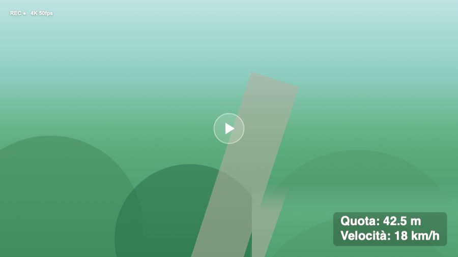
A new "Also show speed" toggle, available whenever the flight altitude overlay is on: GeoTag Video calculates the drone's ground speed from its GPS telemetry and writes it in the same overlay, just below the altitude. It stays an independent option, switchable off at any time without giving up the altitude.
Isometric (offline) or on a real map with streets and points of interest, in three sizes with adjustable opacity: embed it in the video as an animated mini-map, or export it as a standalone image, even for an entire merge.
GeoTag Video is available in Italian and English. A built-in language switcher lets you swap language on the fly, without restarting; by default it follows the device language.
Choose how to name the geotagged videos: original name, date, or date and coordinates together with the name, with a preview of the result before you start processing.
The options introduced in version 1.2 — the flight-altitude overlay and 1080p/720p export — stay optional and can be turned off with one tap. By default GeoTag Video never re-encodes the video: the HEVC samples are simply re-wrapped into a .mov container, in an instant and with no quality loss. When you enable them, the video is instead reprocessed frame by frame, a process accelerated by the Apple Silicon media engine but still slower than the instant remux.
Everything you need to geotag your footage without hassle, staying on your Mac or iPhone.
Below the altitude overlay, as an option: the ground speed calculated from the drone's GPS telemetry, switchable off without giving up the altitude.
Isometric (offline) or on a real map with streets and points of interest, in three sizes with adjustable opacity: embed it in the video as an animated mini-map, or export it as a standalone image, even for an entire merge.
Italian and English, with a language switcher built into the app to change on the fly without restarting. By default it follows the device language.
A button next to each pair opens the original video so you can recognize it before processing: on Mac with the system player, on iOS with a built-in preview.
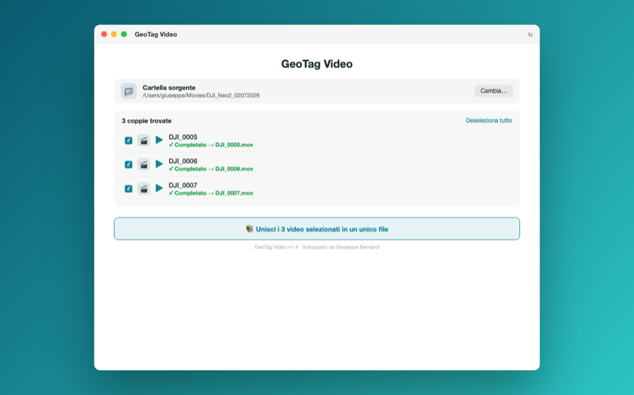
Select two or more videos and merge them into a single file in chronological order, with audio and — if enabled — the altitude overlay kept consistent throughout.
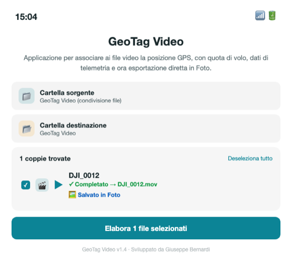
After processing, import the video directly into the Photos library on your iPhone or iPad with one tap, without going through the Files app.
If the source folder also contains an .M4A file with the same base name (a separately recorded audio track, common on some DJI drones), it is automatically merged into the geotagged video.
Tap a video's icon in the list to see date, duration, min/max/average altitude, distance travelled, camera settings, a map and an altitude chart. On screen only: it is not burned into the exported video.
Choose the naming scheme of the exported videos: original, with date, or with date and GPS coordinates.
A persistent list of the videos already processed, with date and outcome, available across later sessions of the app.
HEVC files are simply remuxed into a new .mov container: same quality, near-instant processing. The overlay and resolution options require re-encoding instead →
It analyzes the drone's telemetry and finds the first valid satellite lock, discarding the initial null coordinates.
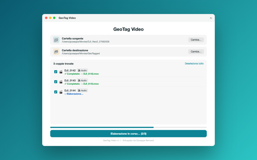
Select an entire folder of footage: all the .MP4 + .SRT pairs are found and geotagged in a single session.
It uses the standard ISO 6709 location format, the same one used by Photos, Finder and Maps: the pin appears automatically on import.
No server, no account: processing happens entirely locally. The only exception is the optional real-map style, which needs a connection just to download the map.
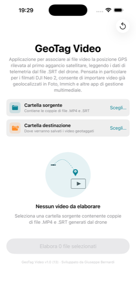
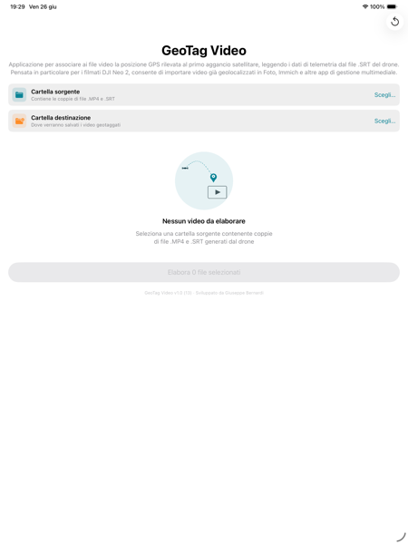
A single app designed for both platforms, with the same ease of use on Mac and iPhone/iPad.
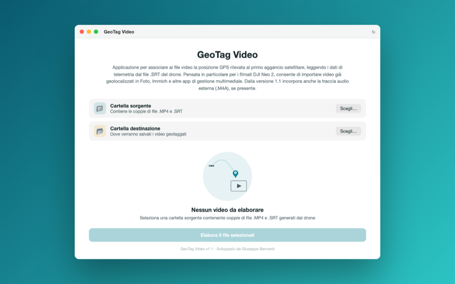
Three steps, no technical skills required.
Select the folder containing the .MP4 and .SRT file pairs exported from the drone.
Specify where to save the geotagged copies: the original is never modified.
GeoTag Video creates a copy of each video with the GPS location embedded, ready for import.
The same interface, simple and consistent, on Mac and iPhone/iPad.
GeoTag Video does not collect or transmit any personal data: no analytics, no tracking, no server. Read the full policy →